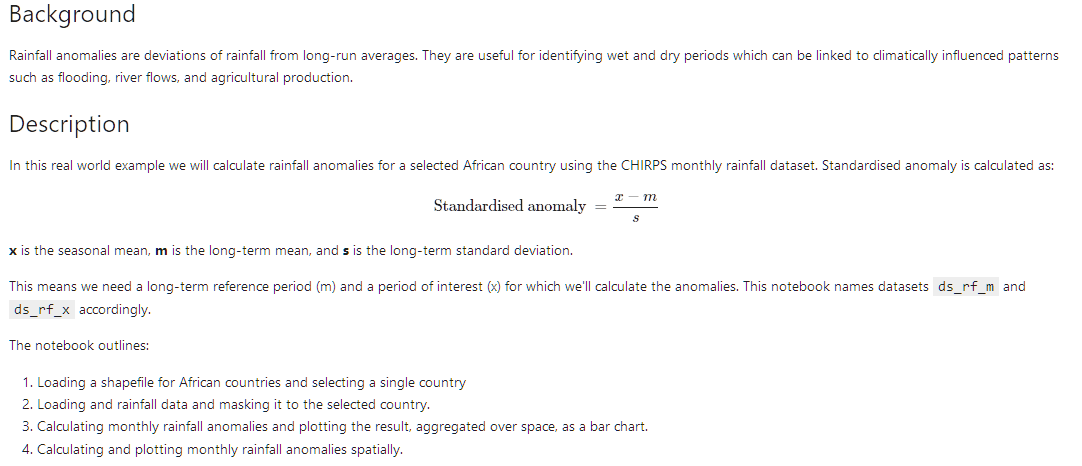
Digital Earth Africa Live Session #61 - Rainfall anomalies notebook, is available!
During this session Digital Earth Africa technical Manager, Edward is
flying us through the rainfall anomalies notebook that can used in
parallel to phenology, NDCI or water extent related notebooks.
This
notebook uses the CHIRPS dataset. The Climate Hazards Group InfraRed
Precipitation with Station data (CHIRPS) is a 35+ year quasi-global
rainfall data set. Monthly rainfall can be accessed and visualised on
Digital Earth Africa Maps:

Topic Participants
Cedric Jorand